
A specially compiled selection of the very best Ordnance Survey maps and guides to help you explore the stunning Yorkshire Dales. All available to buy direct from Ordnance Survey. And why not try their digital map option via a 6 monthly subscription for only £16.99
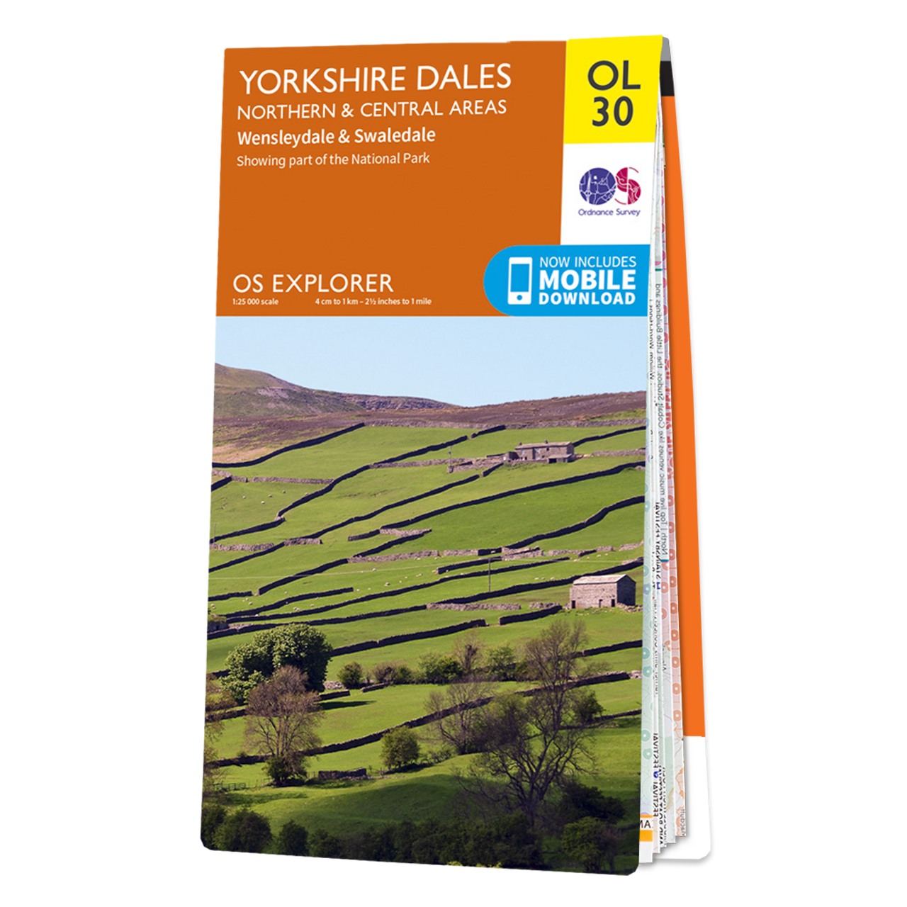
Ordnance Survey Map of Yorkshire Dales – Northern & Central Area
The OS Explorer map of Yorkshire Dales, Northern & Central area, including Wensleydale and Swaledale, is a must-have when visiting the area. There is a wealth of scenery in this part of the Yorkshire Dales National park.
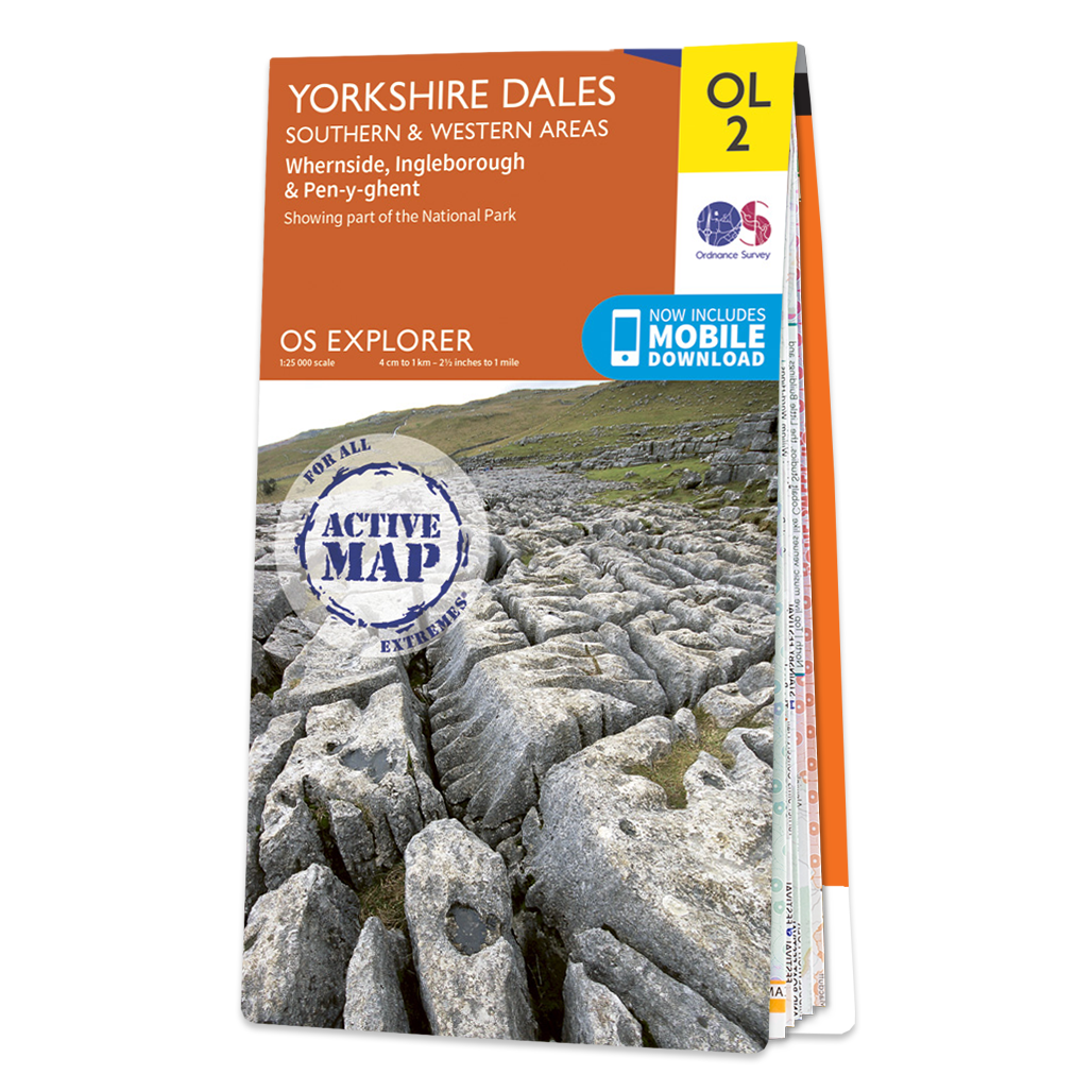
Ordnance Survey Map of Yorkshire Dales – Southern & Western Area
The OS Explorer map of Yorkshire Dales, Southern & Western area, including Whernside, Ingleborough, & Pen-y-ghent. Whether you’re looking to take on all three peaks or just looking for a hike through the South-West of the dales, this map is a must-have.
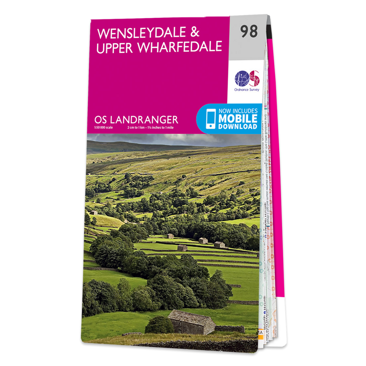
Ordnance Survey Map of Wensleydale & Upper Wharfedale
The Landranger map of Wensleydale and Upper Wharfedale is a must-have for your next trip to the area. Landranger maps are perfect for extensive hikes, cycling, and driving holidays.
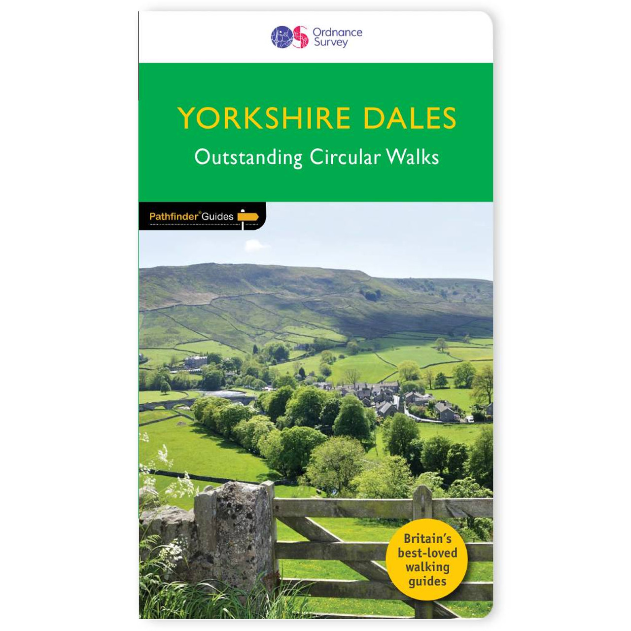
Walks in Yorkshire Dales – Pathfinder guidebook 15
Immerse yourself in 28 beautiful walks across Yorkshire Dales with the OS Pathfinder Guidebooks, graded by length and ranging from 4 to 11 miles. The routes range from extended strolls to longer hikes, something for all levels! Each walk includes a detailed description, an OS map, GPS waypoints and notes of key features and things to see.

Ordnance Survey Map of Northallerton & Ripon
The Landranger map of Northallerton & Ripon is a must-have when planning your next trip to the area. Landranger maps are perfect for extensive hikes, cycling, and driving holidays. Situated between the Yorkshire Dales and the North York Moors, this gorgeous area is often overlooked.
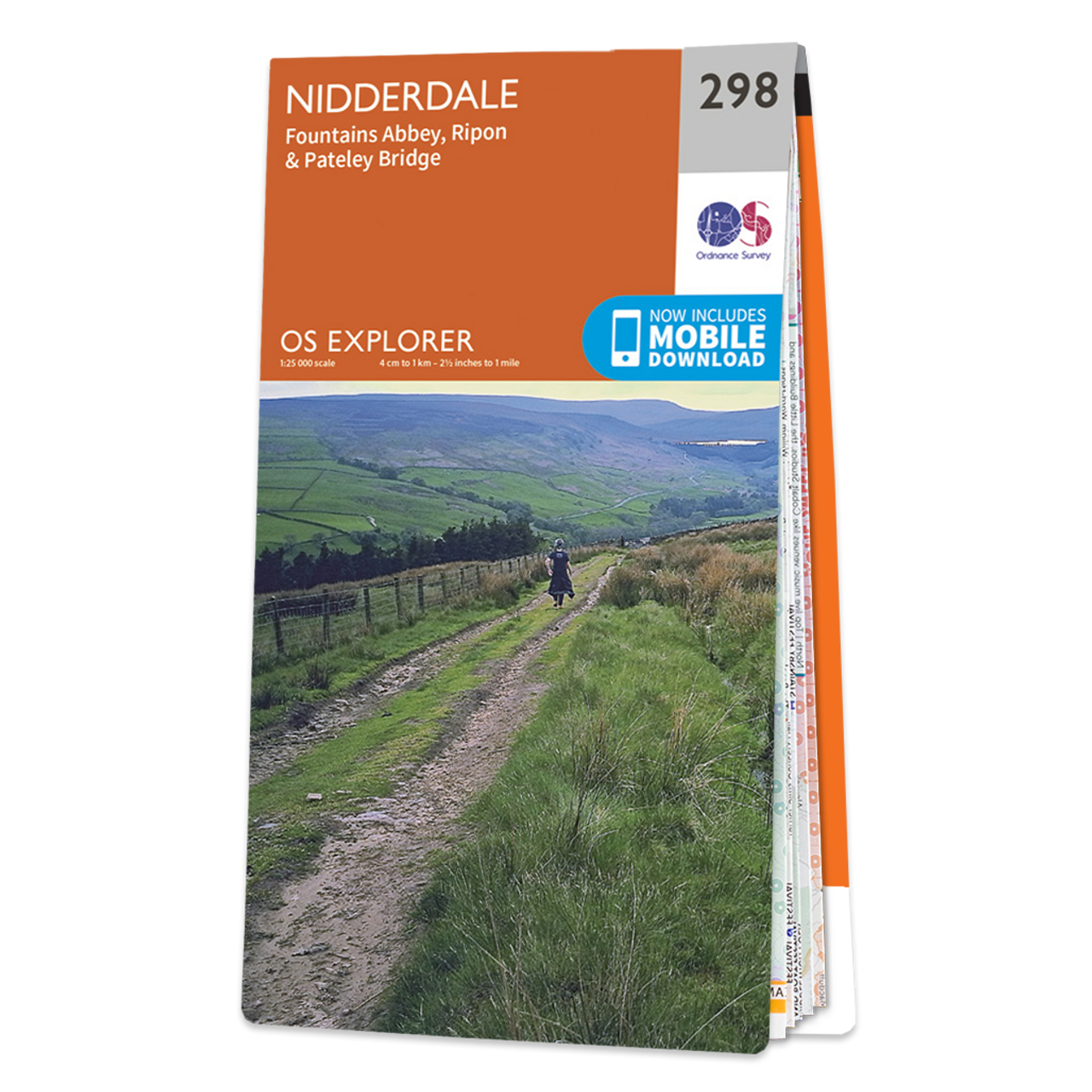
Ordnance Survey Map of Nidderdale
Map of Nidderdale covering Fountains Abbey, Ripon & Pateley Bridge.

Dorrigo 3D Yorkshire Dales relief map
These 3D relief maps are great for display or teaching, showing the detailed topography of the Yorkshire Dales area printed on a custom moulded 3D plastic base. These maps are at 1:63,000 scale. Map measures approximately*: H 76 x W 68 x D 2.9 cm *All measurements are approximate.

Ordnance Survey OS Maps Premium 6 months access
Instant access to every OS leisure map. Digital access to 607 OS maps covering the whole of Great Britain. Discover thousands ready-made routes at your fingertips including routes by Good Pub Guide, Country Walking and Trail Magazine.
- Plot your own routes
- Explore the way you want by creating your own routes.
- Plan routes on the web, then follow along on your phone.
- Download your maps offline before you set off.

100 Outstanding British Walks – Guidebook
There are 100 walking gems from across the country in this collection. With inspiration for a wide range of walking experience and abilities, whether for those new to country walking or seasoned ramblers. It includes easy-paces short walks, half day rambles, and more energetic and challenging full-day excursions for a total of 625 miles or richly rewarding routes.In addition, all the routes can also be found in OS Maps online, allowing you to follow them on your mobile device or print a copy of the map to take with you. As well as details of the routes, you will also find compelling background information of each of the regions, along with beautiful photography. This book includes six months of OS Maps premium, giving access to all 607 Leisure maps. You can also use it to find thousands of other routes created by other walkers or even plan your own. You can activate this by using the unique code printed inside the back cover of the book – look for the instructions on the inside flap.